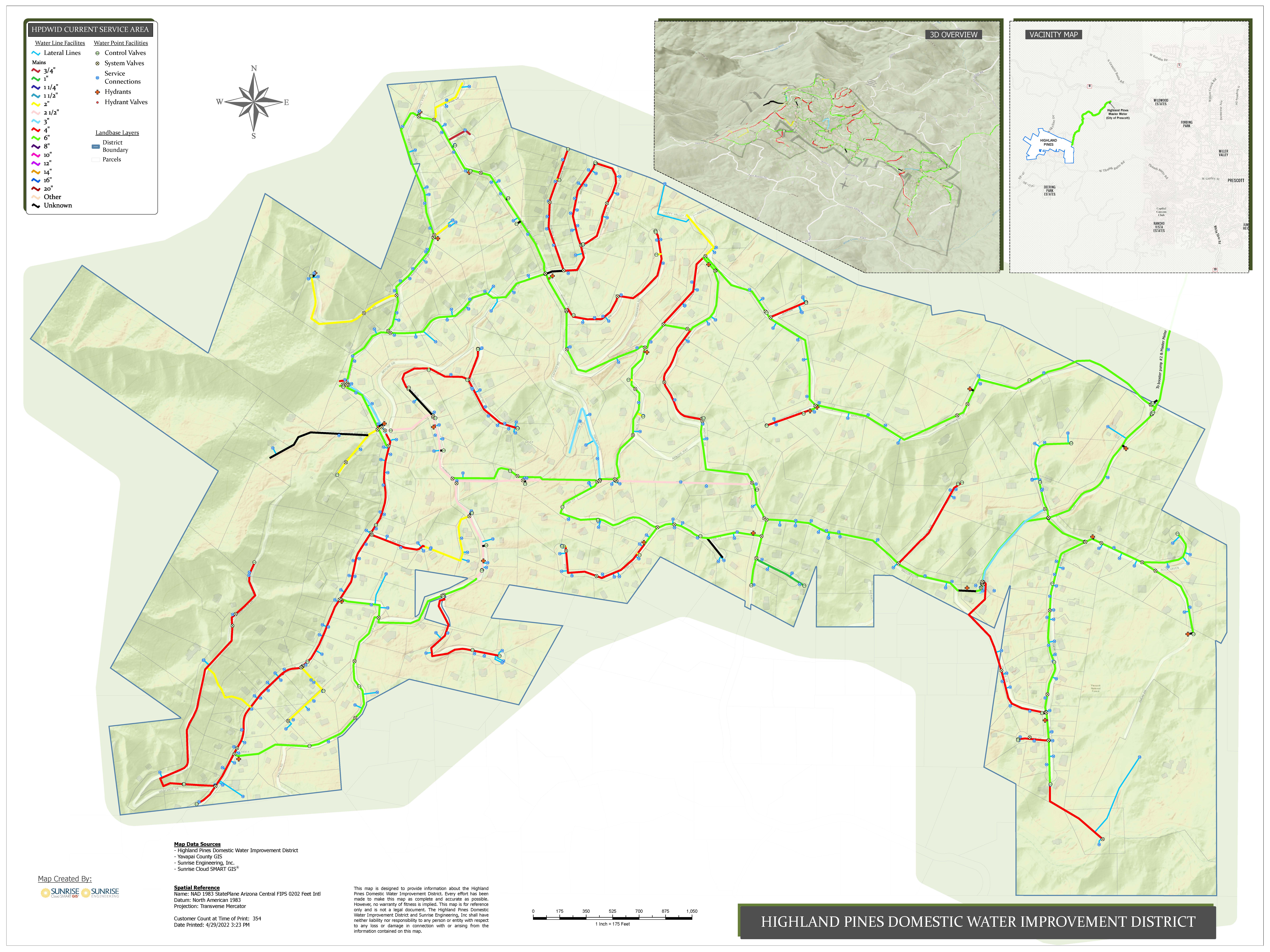
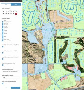
At Sunrise Engineering, the GIS team plays an essential role in helping communities plan smarter, manage infrastructure more efficiently, and make data-driven decisions that support long-term growth and sustainability. Using advanced mapping tools, real-time data, and close collaboration across departments, Sunrise GIS continues to bridge the gap between planning, engineering, and community development.
Supporting Resilient Community Planning
GIS is at the heart of how Sunrise helps communities visualize growth, prioritize infrastructure, and balance quality of life with sustainable development. By transforming complex data into clear, actionable insights, GIS supports thoughtful planning and decision-making for cities and utilities alike.
From parcel acquisition and zoning to water resource planning and utility coordination, GIS helps align land use with infrastructure and environmental priorities. Municipalities use these tools to manage growth while maintaining local character, supported by public engagement and scenario modeling that ensure every plan reflects the community’s vision.

Collaboration Across Departments
Within Sunrise, GIS serves as a vital connector across disciplines. The team collaborates daily with engineering, survey, environmental, inspection, and community development groups to ensure spatial data enhances every phase of a project. Interactive mapping tools and applications such as Survey123 empower both internal teams and clients to visualize project impacts, share updates, and make faster, more informed decisions.
These integrations strengthen communication, reduce duplication of effort, and improve project efficiency. Whether it is identifying utility conflicts, supporting construction administration, or managing infrastructure assets in real time, GIS provides the information and clarity that drive better outcomes.
Innovation and the Future of Sunrise Cloud SMART GIS®
Sunrise’s commitment to innovation shines through its proprietary Sunrise Cloud SMART GIS® platform, a system designed to simplify complex data through intuitive dashboards and client-focused mapping solutions. The team continues to explore technologies that are shaping the next generation of GIS, including artificial intelligence, mobile data collection, and automation that enhance asset management and real-time visualization.
Future developments include AI-powered analytics that predict infrastructure needs and identify risks such as flooding or pavement deterioration, and the integration of Internet of Things sensors for real-time monitoring of assets like meters and pipelines. The team is also advancing digital twin environments that create interactive 3D models for planning, cloud-native collaboration tools that allow secure data sharing from anywhere, and automated data collection systems that keep information accurate and current.
These innovations ensure that Sunrise’s GIS solutions continue to evolve with the needs of clients and communities.

Empowering Communities of All Sizes
Not every city or utility has a dedicated GIS department, and that is where Sunrise makes the difference. The team helps smaller municipalities and service districts implement scalable GIS solutions that fit their budgets, staff capacity, and technical needs.
By integrating GIS with existing systems such as SCADA, asset management, and billing platforms, clients gain automation, transparency, and long-term planning tools without added complexity. Whether supporting a small rural water system or a large metropolitan utility, Sunrise ensures that GIS is accessible, affordable, and built to grow with the client.
Setting Sunrise Apart
What distinguishes Sunrise’s approach is its combination of technical expertise and relationship-driven service. Every GIS solution is built through open communication and customized to align with each client’s workflow and goals. Dashboards consolidate complex data into clear visualizations that empower leaders to act quickly and confidently.
With more than 35 GIS professionals working across multiple offices, the team provides consistent, high-quality service that supports every department at Sunrise. By combining engineering expertise with advanced geospatial technology, Sunrise ensures that GIS is not just a mapping tool. It is a cornerstone of smarter planning, stronger collaboration, and more resilient communities.
